Main Street, Newtongrange
Midlothian
National Grid Reference NT 33342 64228


Easthouses Miners
Easthouses Industrial Estate, Midlothian
National Grid Reference NT 34576 65695


Gorebridge Memorial - Midlothian
Gorebridge Community Council will be officially unveiling the memorial
to local miner workers who lost their lives today, Saturday, September 28


Gorebridge Community Council - The memroial was designed by D Walker Memorials and the community council would like to thank everyone who helped make it possible, including The Dean Tavern, CISWO, Lodge Dundas and Arniston Miners Welfare Club.
Cath McGill said: “Because of everyone who contributed to the fundraising efforts and took advertising space in the 2018 calendar we were able to raise enough to order the memorial and are pleased it is now complete and in place.”
The unveiling will take place outside the Beacon at 3pm together with a small display of mining heritage.
Cath said: “We hope this will spark more memories and encourage you to write down some stories about our recent history.
“We will also have some details of the names we are aware of so far although there were too many to have them noted on the memorial, but there a second project is in the pipeline to display these in the Beacon once we have been able to check and verify all the details.
“Everyone is welcome to come along and have a cuppa and something to eat and share some stories and memories of working or living in Gorebridge.”
The miners’ memorial is located next to the First World War memorial and the Second World War memorial will be reinstated soon.
Midlothian Advertiser
Foulshiels Park, Stoneyburn and Bents, West Lothian


Stoneyburn Heritage Trail

Follow the Stoneyburn Heritage Trail to discover the history of the town, the stories and people who were part of its development. At each of the ten locations there is a sign, 2 large like this, and 8 at waist height. These will give you more information on each site and a QR code to scan for more information, told through the eyes of a few fictional characters.
The trail runs from West to East and is a mile long. It is suitable for people with wheels and walking aids and is part of a larger project which began in 2017 that resulted in a book, an exhibition and school workshops. The project aims to save and pass onto future generations important stories of Stoneyburn's past. It is the result of the efforts of many - foremost among them the Stoneyburn Heritage Group, West Lothian Council, Generation Arts and the Stoneyburn and Bents Future Visions Group.
While the stories are based on real places and events they have been retold through generations. We have also added a sprinkle of poetic licence to capture the spirit of Stoneyburn - both the place and its people.
You can see the book and the map online by scanning the QR codes or visiting www.generationarts.co.uk and searching for Stoneyburn Stories. You can contact Generation Arts through this website to get a copy of the printed book.
WHITE GATES
Nothing remains of the white gates now, but they were located where railway lines crossed roads in the village and used to close roads to traffic to allow coal trains from the local collieries to cross the road in safety. These crossings were a source of great amusement and excitement for local children. One set of gates was located at Bents Station, across the Hensnet Road, one in the middle of the village, and one at the east end across Main Street.
This sign marks the approximate location of the set in the centre of the village. Imagine being able to stop traffic now with a set of white gates!
Visit page 8 to read the account of how Stoneyburn, a village built on coal, developed to mine the black gold underneath.
Credit: artist-Gordon Shaw; writer - Andrew McCallum
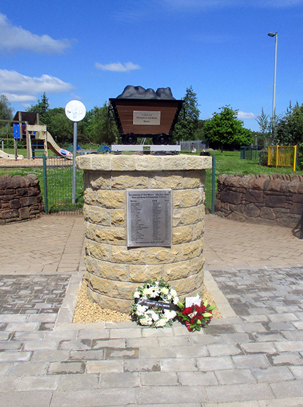
Memorial to the Memory of the Miners who lost their lives working at Foulshiels Colliery, Stoneyburn, West Lothian
Below is the second memorial at Stoneyburn, photos by Jim Henry, morning of 1st June 2024.
The memorial is at the entrance to the Stoneyburn Play Park and this is adjacent to Stoneyburn Main Street (B7015). Stoneyburn lies between the M8 (junction 4) and the A71. Closest towns are Fauldhouse, West Calder, Whitburn and Blackburn.
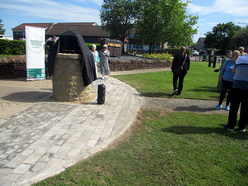
The Memorial Awaits Unveiling
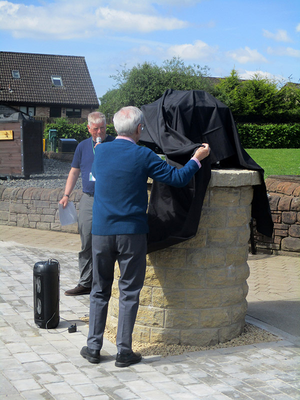
Unveiling about to happen. The Master of Ceremonies, with the microphone, is Sandy Edgar
The name of the gentleman who unveiled the memorial is Bill Haggarty

Wrap Off

First wreath laid by Mary Young who is one of the trustees

Second wreath laid by Tomasina Little, she laid the red wreath, the name of one of her relatives, Thomas Murray Little who died 11 Feb 1957, is on the plaque
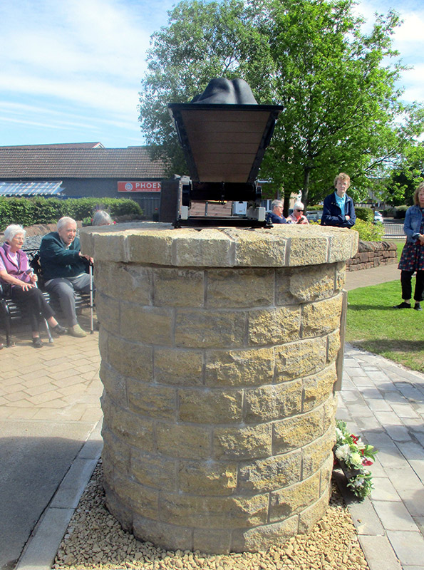
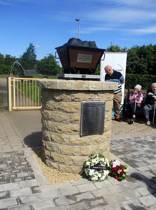


New Bench, North East of the Monument

New Bench, South West of the Monument
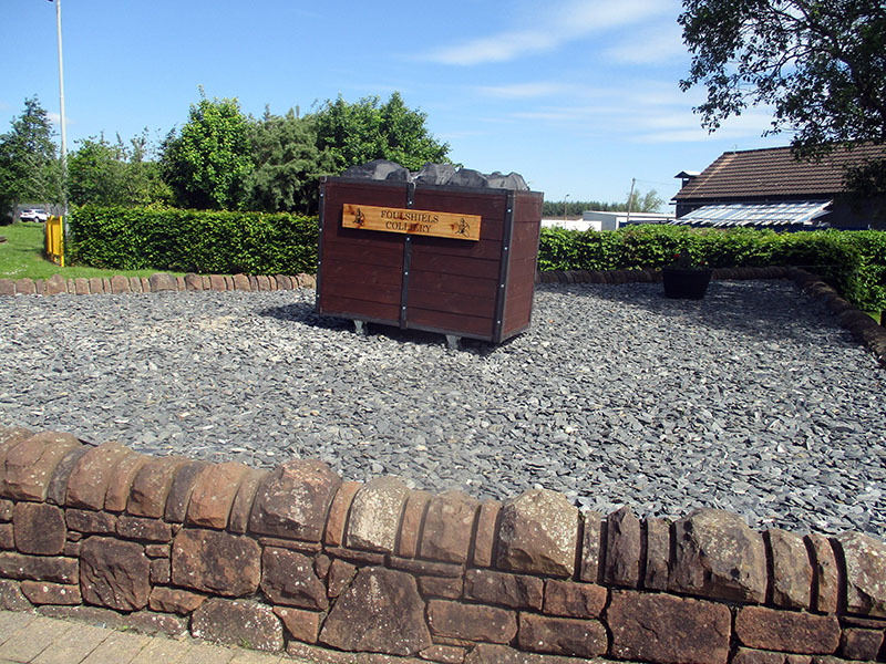
New Hutch in Garden Plot to the East of the New Memorial

New Hutch in Garden Plot to the South West of the New Memorial
Rowanburn, North of Canonbie, Dumfries and Galloway
A Memorial to Samuel Lindsay, a Miner Killed at Rowanburn Pit, 14 Jan 1922
The small wheel and frame was erected as a memorial to the miners and Mr Lindsay. Rowanburn is a small rural village which stands on the Northumberland/Cumbria border. At side of A6357, Rowanburn, north of Canonbie, Dumfries and Galloway
National Grid Reference NY 40847 77209


There were 4 coal mines at Rowanburn. Canonbie Colliery, Blinkbonny Colliery, Bottoms Colliery and Archerbeck Colliery.
Canonbie Colliery and Blinkbonny Colliery were linked by a tramway. Canonbie Colliery was served by a rail link from the Langholm branch of the NBR which was linked to the Carlisle - Edinburgh railway.
Archerbeck Pit was centred around the Archerbeck Bridge area about a half mile east of Rowanburn, it's site went back to the 1770s.
Rowanburn (or Canonbie) Pit closed 1922 but there was a drift mine at Archerbeck working in the 1930s/40s.
Samuel Lindsey was killed just a few months before the last mine closed.


